|
| *****SWAAG_ID***** | 772 |
| Date Entered | 13/01/2014 |
| Updated on | 01/02/2014 |
| Recorded by | Stephen Eastmead |
| Category | Geophysical Record |
| Record Type | Archaeology |
| SWAAG Site | Hagg Farm |
| Site Access | Private |
| Record Date | 11/01/2014 |
| Location | Hagg Farm Field 3884 |
| Civil Parish | Reeth |
| Brit. National Grid | SE 0536 9884 |
| Altitude | 206 |
| Record Name | Gradiometer Survey |
| Record Description | Magnetic survey using a Bartington 601-2 Gradiometer. Six 30x30m grid.
|
| Dimensions | 5400 sq metres |
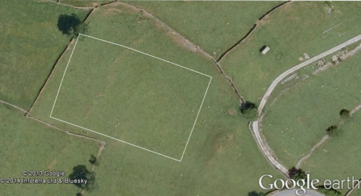
| Image 1 ID | 4944 Click image to enlarge |
| Image 1 Description | GPS location in GoogleEarth of Gradiometric survey |  |
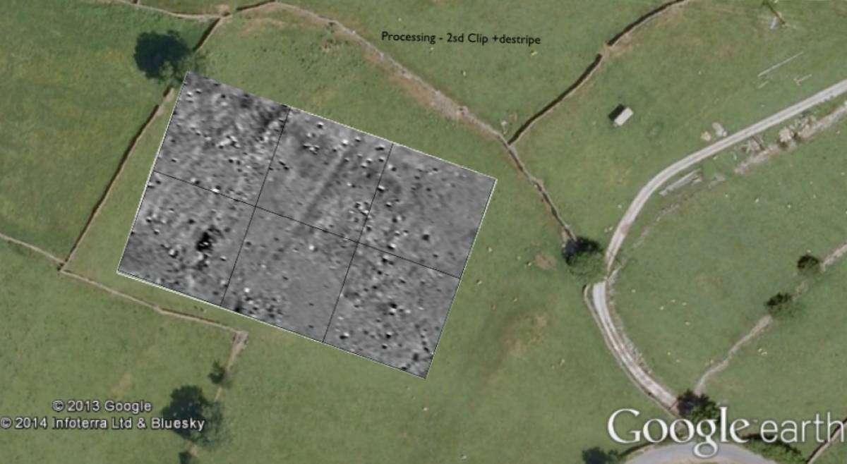
| Image 2 ID | 4945 Click image to enlarge |
| Image 2 Description | Gradiometric survey in Google Earth | 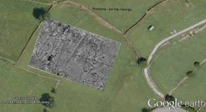 |
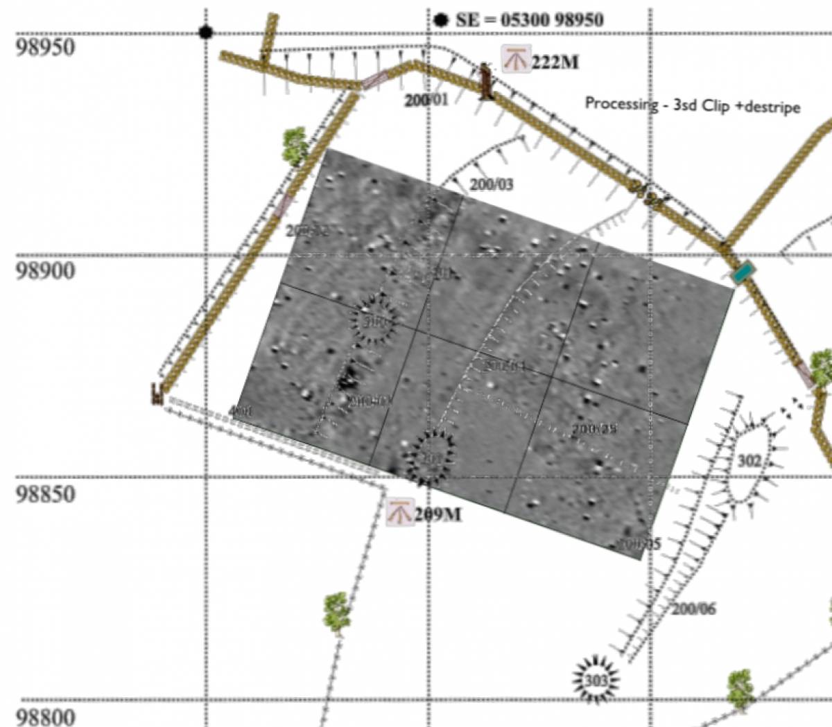
| Image 3 ID | 4942 Click image to enlarge |
| Image 3 Description | SWAAG GPS survey from 2010 | 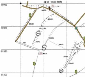 |
| Image 4 ID | 4943 Click image to enlarge |
| Image 4 Description | SWAAG GPS survey from 2010 plus Gradiometric survey | 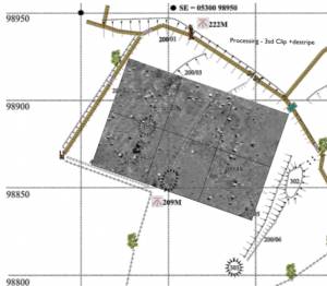 |